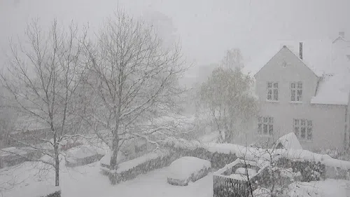
***Conditions continue to improve but a Blizzard Warning continues for northern Nebraska as snow continues to fall.
Wind gusts of 25 mph or more will continue into the overnight and cause areas of blowing snow, but will taper off into the early hours of Friday morning. Additional snow accumulations will be greatest along the South Dakota border.
Snowfall rates of ¼ inch per hour possible across northern Nebraska. After 7PM CT TONIGHT: HEAVIEST SNOW ACROSS BOYD AND KEYA PAHA COUNTIES WHERE 1-3 INCHES OF ADDITIONAL SNOW IS POSSIBLE. 1” OR LESS OF ADDITIONAL SNOW POSSIBLE FOR THE NORTHERN SANDHILLS. A DUSTING OF SNOW FOR THE CENTRAL SANDHILLS AND INTERSTATE 80.
The falling/blowing snow may lead to near whiteout conditions at times; travel will continue to be extremely dangerous or impossible.
Wind chills for Friday morning could be anywhere from 8 to 10 degrees.